Real places. Real people.
Tide, wind and swell for the spot you're actually launching from. GPS tracking for every session. A map of launches and hazards kept honest by the paddlers who use them.
Most sessions are decided in the five minutes before you launch
Hydrove is built for that five minutes — and for everything you want to keep from the session afterwards.
Go or no-go, in one glance
Marine forecast, tide state and wind read together, with a plain-language verdict for your board or boat — not raw numbers to interpret on a slipway.
Every mile logged
Start tracking, pocket the phone. Route, distance, pace and the conditions you actually had, saved to a session worth revisiting.
Written down at last
Verified launches, parking, portages and hazards — contributed and corrected by the people who paddle them every week.
The forecast for your launch, not the nearest city
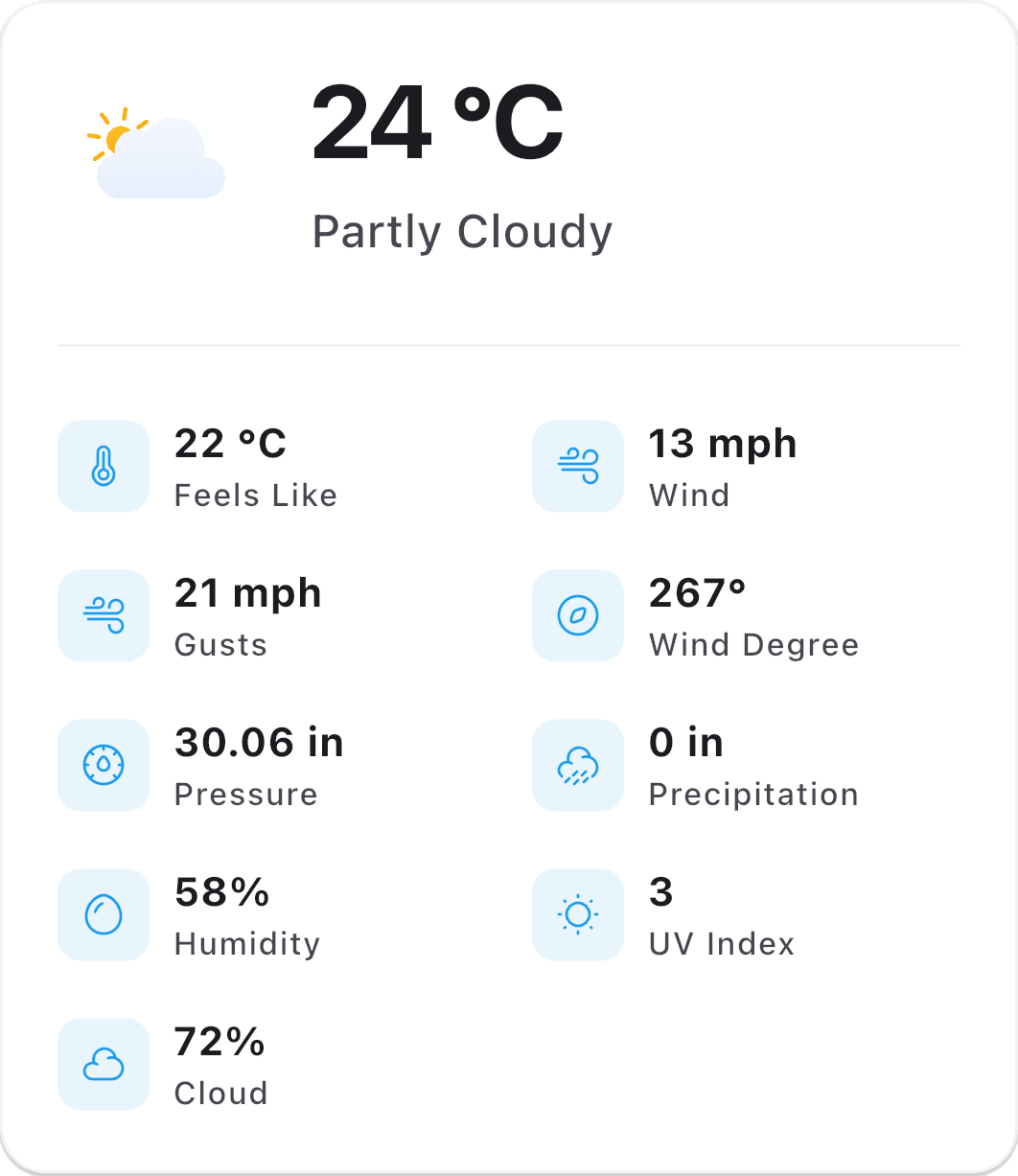
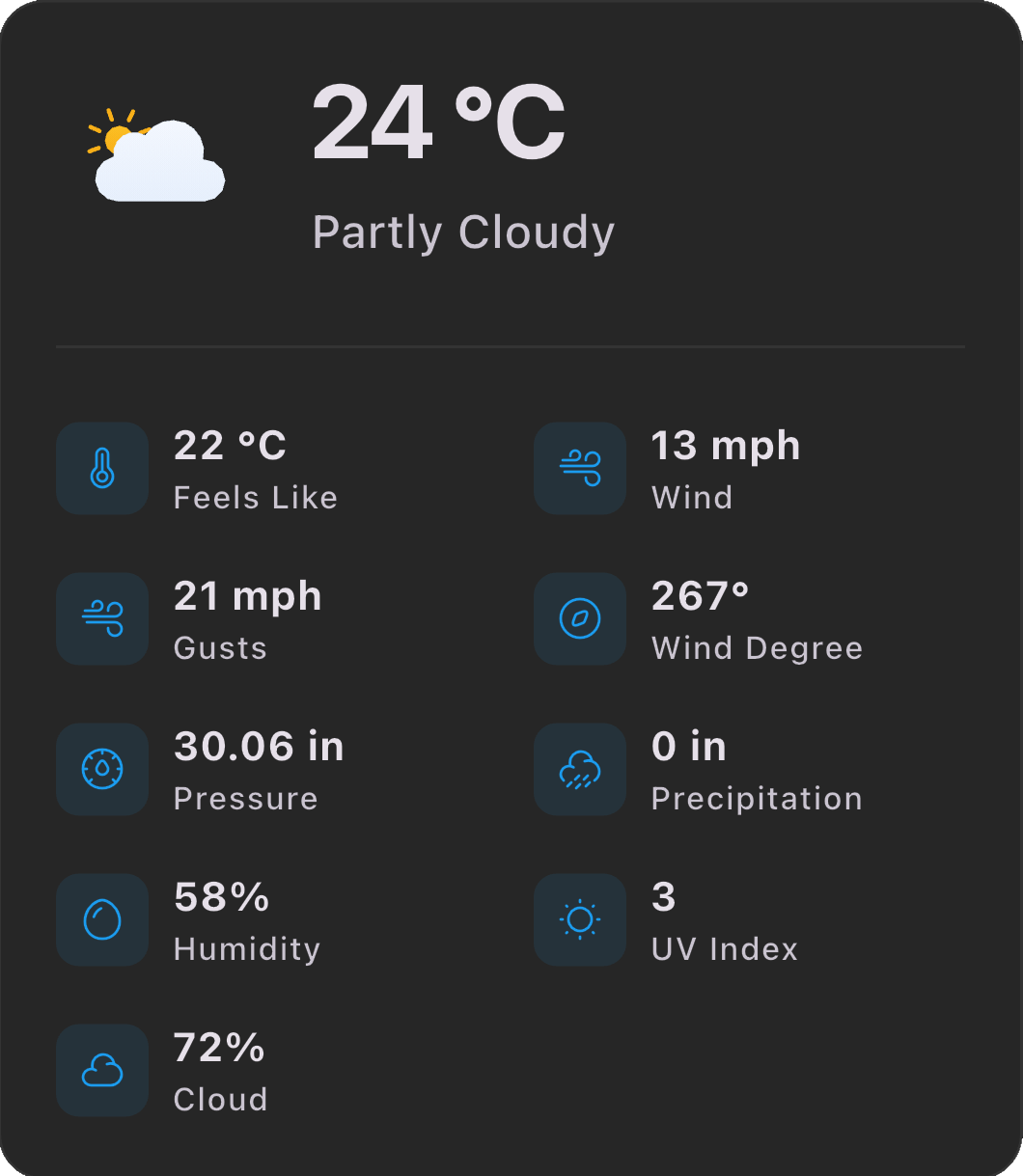
Pick a spot and Hydrove pulls tide, tidal stream, wind, gust, swell, period and water temperature for that point — then flags the things that catch people out: offshore wind, a turning tide, swell over your usual limit, fading daylight.
- Push alerts when a saved spot comes good — or turns dangerous
- Hour-by-hour tide curve with high, low and slack water
- Your own thresholds per discipline — SUP, kayak, wave
One tap in, one tap out
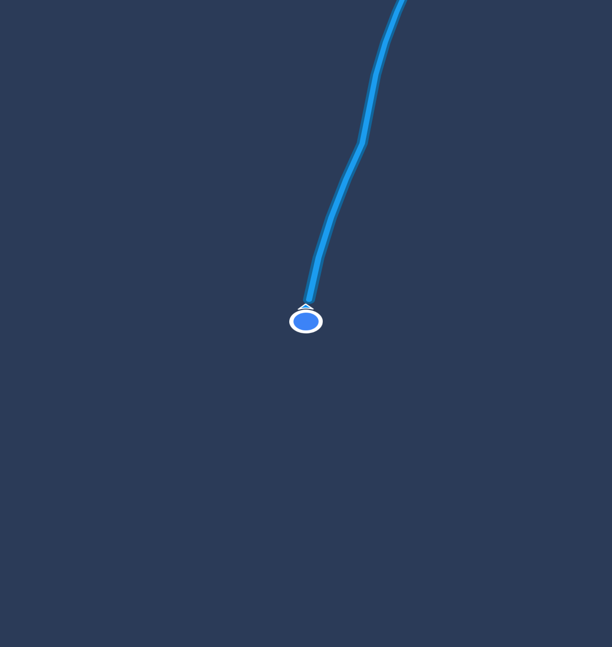
GPS route, distance, moving pace and time on the water, recorded alongside the tide and wind of the day. Sessions build into a history you can filter by discipline, spot or season — and achievements you never had to chase.
A map worth trusting on a strange coast
Every spot on the map is submitted by a paddler and verified before it publishes: where to park, where to get in, which side of the estuary to stay on, what to avoid at low water. Download the area before you drive and it all still works with no signal.
How spot verification works →Spot map — verified pins, routes and launch points
Offline maps
Cache a whole stretch of coast, then paddle it without a bar of signal.
Session history
Filter by spot, discipline or season and see how the year actually went.
Achievements
Distance, dawn starts, new spots, winter dips — earned, not gamified.
Nobody's best session was solo
Club paddles, dawn meetups, race days and beach cleans near you — posted by local groups with the day's forecast attached. Say you're coming, see who else is.
From people who launch in worse weather than you do
“The offshore wind warning turned me back once and I'm glad it did. I check it now before I even load the board.”
“Start it, pocket the phone, forget it. Having the tide and wind saved with every route is the bit I didn't know I wanted.”
“Drove to a coast I didn't know and the launch notes were spot on, right down to the parking.”
The team testing on the Devon coast
A small team on the same water as you
Hydrove is made on the south west coast by paddlers who got tired of stitching together three forecast sites and a tide table before every session. When something's wrong on the map, we're the ones who fix it.
Tide's coming in
Free to download, free to track. Conditions, spots and sessions in one app — iOS and Android.
Questions first? Visit the support centre